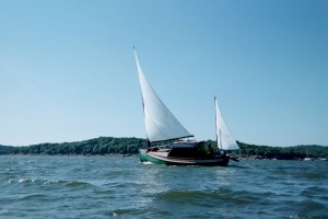
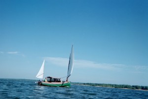
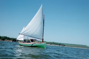
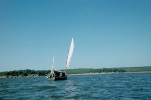
On the Road Again – Jamie Orr
Being the further adventures of the good ship
Wayward Lass
in Clayoquot Sound (for chart, turn to the last page)
Yes, Wayward Lass has been on the road again, this time to Tofino on the west coast of Vancouver Island, to explore Clayoquot Sound. Clayoquot is made up of a number of inlets, with three major islands, Meares, Flores and Vargas. Meares Island was the centre of considerable attention a few years ago, when logging and anti-logging interests clashed over clear-cutting on the island. Meares is also the most interesting island from another point of view, as it lies completely within the sound, and can be sailed around without venturing onto the open sea. Flores and Vargas islands guard the outer edge of the Sound, providing sheltered waters on their eastern sides.
Saturday
I was supposed to get away with my dad, Les, in June, but work kept me in Victoria for another month. We didn’t know it at the time, but this turned out to be a blessing – in the whole week, we were going to have lots of sunshine, almost no rain, and a good sailing breeze for part of every day. We arrived in Tofino about 3 o’clock on Saturday afternoon, after a five hour drive from Victoria, and launched soon after at the 4th Street Public Docks (shown in the “cover” picture) . We found parking for the van and trailer only three short blocks away.
We left the docks at 4:40 pm, and motored north for a short distance through Deadman Passage, with sand banks to port and rocks and mudbanks to starboard. I should note here that as we travelled, we frequently left one channel for another, with the tide changing between fair and foul almost as often. The tide was ebbing on Saturday evening – in Deadman it was on our starboard side, as we turned west in Heynen Passage it was in our favour, then when we turned north again to Maurus Channel it was dead against us.
About 8:30 we anchored in a small cove on the northeast side of Vargas Island. This was still close to Tofino, and turned out to be on a busy corner. While well sheltered from weather, it was wide open to the wakes from the numerous water-taxis and whale watching boats that passed the entrance every few minutes. These carried on until late – not a good recipe for a peaceful night!
 |
Wayward Lass at anchor in the morning, with Lone Cone (on Meares Island) in background |
Sunday
Next morning was a bit quieter, and we cooked up bacon, eggs and toast for breakfast before the traffic got going. Then we got moving, under power since the wind wasn’t up yet – this was the general pattern for the week, no wind in the early morning, a bit in the late morning, a quietish spell then a good breeze in the mid afternoon, lasting until evening. Once out of our cove, we headed northwest to Millar Channel, where we turned north. Near the top of Millar, around noon, a light wind came up, so we put up the sails and stopped the motor. (About the same time, we saw the only porpoise we were to see on the trip.)
At the north end of Millar Channel, Obstruction Island splits the channel into two – the passage to the west is fairly straight, but Sulphur Passage to the east is a more interesting, winding around corners and islands. We thought we’d make use of the favourable wind and the last of the flood tide, not to mention our shallow draft (a great comfort at times!) and sail through this route. The wind became fluky and unreliable behind the island, but never totally deserted us. At the most eastern part of the passage, we were drifting more than sailing, but once around that corner, we could feel some air again, so were able to beat down the next leg and see our way between Obstruction itself and the last islet of the chain next to it. Once through, we were quite pleased with ourselves.
We now faced a long beat westward to Sydney Inlet. The tide was starting to ebb (having changed channels, we now had the ebb in our favour), but the wind was against us. I lost count, but I believe we crossed and re-crossed that inlet a dozen times, with the wind strength going up and down, and often changing direction due to the hills and valleys either side of the channel. We finally rounded the point and started south down Sydney Inlet. Unfortunately, by this time the ebb was almost done, and the wind had gone around to the south, following the line of the channel, leaving us still fighting for every inch. Our goal was Hot Springs Cove, just around the corner at the mouth of the inlet. After all our work we were determined to reach Hot Springs, and we passed up one or two inviting bays on the east shore of the channel. One of these had several kayaks pulled up on shore, and tents on the beach. Smart kayakers — it took us another hour to reach the final point, and then we just could not get around it. The wind was almost completely gone, while a strong current was coming around the point against us. We tried for a good hour, but were either pushed back into Sydney Inlet, or towards the rocks where the gentle ocean swell was breaking in a most ungentle way. In the end, it was Honda to the rescue, and we motored into Hot Springs Cove, arriving at the Parks’ dock 10 minutes later. During this short stretch, we had the only rain of the trip, a shower that lasted until we had the shelter up. Since Hot Springs Cove was our only pre-determined destination, we celebrated with wine and a spaghetti dinner, with an excellent meat sauce brought from home.
Our galley arrangements might be of interest. To start with, we don’t carry a cooler on board. It would be too bulky, and we couldn’t keep the ice long enough anyway. Our solution was to put the perishables under the floorboards in the cabin. We kept bacon and eggs for three days this way, and they were still good – we finished them by then so I don’t know how long they might have lasted. Hard sausage, butter and cheese were still good at the end of the week. There was a bit of mould on the cheddar, but we scraped it off and the rest tasted fine. Beer and soft drinks went under the floorboards in the cockpit, since a bit of salty water won’t hurt them. The rest of the “galley” went in two plastic storage boxes. These are convenient, and the soft plastic doesn’t mark the paint when they’re moved around. Our stove is a two burner camp stove that runs off one pound propane bottles. The stove goes under a cockpit seat and the bottle, once started, is stored in the cockpit, in the open space under the motor well.
Monday
The next morning, we were up bright and early (well, early anyway) and by 7:00 were on the trail to the hotspring itself. This trail is about 2 km long, and is boardwalk all the way, with lots of stairs up and down. The spring starts a few metres above the high tide line, the water first appearing as it falls over a small rocky cliff – I found this natural shower a little too warm to stand under. The hot water then runs through a series of rocky pools, cooling as it goes. These pools are more or less natural – some rocks have been re-arranged to better hold the water, or for comfort – but they’re still small, rocky pools in the end. The best has a gravel bottom, and is big enough for 4-6 people (depending how well they know each other) to sit comfortably. We were lucky in that only two other people were there when we arrived – what it’s like when the tour boats come in I don’t know! However, I’d hate to see it developed – for me, the appeal is in the unspoiled surrounding. Happily, since the point is a Provincial park, it’s likely to stay as it is for a while at least.
After our soak, we hiked back for some breakfast, then at 11:00 we left Hot Springs Cove to go down the outside of Flores Island. This route is open to the Pacific swells – nothing between us and Japan – so we were careful to get an up to date weather report from the VHF. Favourable winds were predicted later in the day, but as there was no wind when we set out, we started off motoring. Once we were clear of Hot Springs Cove, a light south-west wind did appear, but it wasn’t enough to make us put up the sails just yet.
 |
Next stop, Japan! |
We thought we might be able to start sailing at Rafael Point, an hour away, where the coast falls away to the southeast, and we could hold a course without tacking. As we approached Rafael Point, I saw a puff of spray shoot up from the surface. After a second, I realized it was a whale spouting! Soon we were able to make out three or four grey whales. First the spout would appear, then the whale’s back would appear as it started to dive. Once or twice we saw a tail come briefly out of the water – just like on the postcards!
 |
Here’s the only picture we have of a whale – see the grey hump in the middle of the grey sea? The mist is the spout, several seconds old. |
We were pretty thrilled, but didn’t hang about too long – we were still very conscious of being on an exposed shore in a not very big boat.
Instead, we got the sails up as planned, and managed to sail slowly down the coast, but the wind wasn’t really strong enough. – the rocking and pitching from the swell was making the gaff and boom thrash around, so eventually we dropped the sails in favour of motoring again. Passing an unnamed point two or three miles southwest, we saw another group of three whales, so we were well pleased with our morning.
South of Flores Island, we motored back into sheltered waters, eventually turning north again into Millar Channel, this time turning into smaller Matilda Inlet to dock at Ahousat, where we topped up the gas tank, and re-filled our 5 gallon water jug. We decided to stay the night there, and take advantage of the special at the cafe (sweet and sour meatballs.) There’s a sizable marine railway at Ahousat, and at high tide that night they were going to put a fishing boat back in and haul a 53 foot cruiser – a huge fibreglass beast. The cruiser had lost one of its propellers, but the owner had spare props and shafts aboard. I went along at 10 pm and watched the show. The operator of the ways, who also runs the store and everything else there, gave instructions to the cruiser’s owner and several other men on the cruiser as to where he wanted it placed in relation to the supports, then disappeared up to the winch end of things to fire up the engine and start hauling. It was a very smooth operation, finishing with the boat out of the water, but still overhanging it, so actual repairs were to start once the tide allowed. (I took a look in the morning, at low tide, and the two inch stainless steel shaft had snapped off cleanly, just outside the “A” bracket. I’m told this is not an uncommon happening with stainless shafts on big boats – just one of those things rich people have to cope with.)
 |
Wayward Lass at Ahousat, looking across Matilda Inlet to the Indian village of Marktosis |
Tuesday
We ate breakfast at the café (moral decay setting in!) then took a look at the chart. Our decision was to go around Meares Island, particularly as both wind and tide should be in our favour for several hours. We fired up Honda and set off back down Millar Channel, but we fairly soon felt some wind and put up the sails. About then, one of Tofino Air’s floatplanes came along, not wasting much fuel on altitude – it was so low that it swerved around us rather than flying over! Soon after that, we left Millar behind, cutting inside both beacon and rocks at the point in order to avoid any extra distance in the light wind. (By watching the local traffic, fishing boats and water taxis, we got a good idea of where it was safe to cut corners.)
 |
Sailing close inshore in light wind. |
On leaving Millar, we turned northeast, sailing between some small islands on the way to Cypress Bay. On the way, we passed Hecate Bay, which used to be a big centre for logging activity. There was a big chip barge and a tug moored in the bay, but it didn’t look like a lot was going on.
 |
Here’s Dad toughing it out in Cypress Bay |
At the north end of Cypress we lost the wind, so were motoring as we passed through the narrow entrance to Quait Bay, which opened out into a sizable sheltered anchorage, with enough room for a hundred boats. There was a big floating resort moored on the northwest side, catering for sports fishermen, but we didn’t attempt to land there, instead continuing on around the bay then ducking out an even smaller passage to the east of the main entrance.
The wind returned nicely about this time, and we were able to sail eastward towards the narrows at the north end of Meares Island, getting through them just before losing the flood as well as 95% of the wind. We had thought, in our innocence, that on reaching the east side of Meares Island we would pick up the ebb going south, but found that the current was flowing the wrong way! Some study of the chart and the guidebook showed that the flood goes all the way up the west side of Meares Island, across the north end, then down the east side (where we now were) before turning up Tofino Inlet in a northeast direction. And of course the ebb goes back the other way. The tide also flows east and west through Browning Channel south of Meares, but Browning is narrow, so a lot of water takes the long way north around Meares. All of which is to say we blew it and didn’t get any help from the ebb tide.
We started the motor again, heading south and looking into Mosquito Harbour, which is much nicer than its name. Coming out we were able to use the local wind and sail a mile or two, but once clear of Mosquito Harbour, we lost the wind – all the bays we looked into had their own winds blowing out, but I’m not clear on just what causes these.
We by-passed the next bay, since we could see down to the end, and the wind was blowing strongly out of it anyway. At the southern end of our channel, we turned east towards Tofino Inlet, not noticing right away that the wind had come up behind us.
When we did notice, it was hardly worth putting up the sails, so we kept on motoring around into Island Cove, then into another, tiny cove on the south shore of that – absolutely no wind here. As we putted slowly in, getting ready to drop the hook, we saw a young black bear foraging his way along the shore. He stopped and sniffed the air when he heard us, but didn’t pay us much attention beyond that. We passed by about 20 feet out, then circled for some more pictures. He just kept working his way along, and by the time we had the anchor set, he was out of sight. Made a great end to the day.
This also made me realize that I have to invest in either contact lenses or a new camera. I have an old Olympus SLR, but when I focus the camera now, I’m also compensating for my eyesight, so the resulting pictures aren’t as sharp as they used to be!
 |
A young black bear on the shore of Island Cove |
We also saw (and heard) an eagle spiral almost vertically down to the beach, but before he could do more than peck at something he found there, five crows arrived and started to verbally abuse him with great enthusiasm. The eagle took himself off, pursued by one particularly aggressive crow.
Wednesday
As was usual by now, there was no wind as we started off at 8 o’clock, so we were motoring as we got properly into Tofino Inlet, heading towards the Kennedy River. The chart indicates this should be navigable, at least at high tide, all the way to Kennedy Lake, but there are drying areas, as well as at least one bridge with no clearance indicated. As the tide was low, we settled for going up only a few hundred yards before turning downstream again. We also looked into Kennedy Cove next door, where some old pilings were all we could see left of a cannery that thrived (throve?) there years ago.
Continuing up the inlet, we looked into another cove, slipping behind some small rocky islands to come out the back door. Dad was steering while I watched for rocks from the bows – I could see a rocky ridge below us as we passed out of the bay, but it was safely under our keel.
 |
Here we are up the Kennedy River, looking downstream towards the river mouth |
Travelling the rest of the way up Tofino Inlet was an enjoyable if uneventful trip, getting a little sailing when the wind appeared for a short time, but motoring most of the way. We’ve found that a lower setting on the throttle gives almost as much speed as a higher, but it’s a lot quieter, so it felt like we were loafing along. We passed several small islands, including two that together almost cut off the head of the inlet from the outside world.
My goal was to have a swim once we reached the far end of Tofino Inlet, as the guidebook said this was the warmest water in the area. Okay, that may be so, but the rest of Clayoquot Sound must be damn cold! Up here it wasn’t quite gasping cold, but I didn’t stay in long. Getting back in Wayward Lass, I used as a step a line strung between cleats at either end of the cockpit – something I’ve thought about for recovering a man overboard. When I stepped on it, the line swung under the overhang of course, but it still helped me get aboard by on my own.
 |
Here’s a view of the head of Tofino Inlet |
Just about then, about 12:20, the wind came up, a healthy one at last – maybe 10 knots. We motored clear of the islands and got the sails up about 1:00, then started tacking back down the inlet – do I need to mention it was against us? No? Okay then, I won’t.
We crossed the inlet at least five times, working our way southwest. As we left the last of the bigger islands behind, it started to blow harder, and we started to take some spray
aboard – lots of whitecaps by now. By the time we were back down near the south end, it was well over 15 knots, so we ducked in behind a handy island at about 2:30, and put in a reef. Then it was across the inlet again to Grice Bay on one long, wet thrash!
At its western end, the inlet narrows considerably, feeding into the even narrower Browning Channel. and the wind was funnelling through these at an estimated 20 knots by now, so sailing through seemed unlikely to succeed. In which case, we thought we would motor through Grice Bay. This large bay is mostly mud flats, with a narrow channel winding south of a biggish island to join Browning Channel further west. We thought it might be a challenge keeping off the mud, but it turned out to be dead easy, since the tide was well up. We navigated down what we thought ought to be the channel anyway, to be on the safe side. It was a trouble free journey until some floating weed choked the cooling water intake on Honda. Luckily, it also caught around the prop, and the change in engine sound caught our attention. I stopped the motor and cleared away all the crud, after which it started again on the first pull.
Once out into Browning Channel, it was just one long plug into the wind. Since the tide was going with us, it was a wet plug as well, with a sizable chop thrown up by the battle between wind and tide. We pounded a bit, but didn’t have to slow down. With the favourable tide we managed over 6 knots a lot of the way. The eastern entrance to Tofino has a big submerged rock blocking the channel, and our (old) chart didn’t show any aids to navigation, but we thought we would give it a shot, rather than add a couple extra miles to go around. A good decision, since we found a pair of lateral buoys marking the channel in – these were very close together, no more than 25 feet between them, so I was glad we didn’t have to judge it by the kelp alone! These markers must be fairly new, since the guidebooks don’t mention them – our Waggoner guide is only 2 years old. We arrived at the 4th Street docks at 4:45, and downed a couple of pale ales to celebrate.
 |
Les Orr in Wayward Lass, at the 4th Street docks, in Tofino |
These docks are mostly reserved for commercial fishermen, so are busy all day and a good part of the night, but about 20% of the space is available for pleasure boaters. We shared “D” finger with a couple of big sailboats headed (separately) around Vancouver Island.
Waggoner passes on a glowing recommendation for the Rain Coast Café. We went there and found that he’s absolutely right, but he forgot to mention that quality costs. Our visit left a large hole in my wallet, although it was unquestionably the best halibut I’ve ever tasted, and the peanut butter pie was right up there with it!
Thursday
The forecast for Thursday morning accurately predicted fog, but it cleared early at Tofino, so after a quick bite at the Coffee Pod Café, (which I recommend highly for good foodand for its prices) we cast off for Lemmens Inlet. Right off the bat the engine sucked in some green, hairy weed floating at the dock and had to be cleared. Once we’d done that, we paddled clear of the crud and re-started. Once you get past a couple of islands to the north of Tofino, Lemmens Inlet carries on straight north, trying hard to cut Meares Island in half. It doesn’t quite make it, but it does provide a great day of sheltered, fog-free travel. Motoring up it, we took the narrower western route when the passage divided, successfully getting around the north end of the island by scraping past what we think was an oyster farm moored just off the shore. We wanted to look into a small unnamed bay to see if it would do as a shallow water anchorage, but ran into some eelgrass (a new Kevlar variety, I think) that wound itself firmly around the prop. I pulled up the motor and worked at clearing the grass while Dad started paddling our way out of the weed patch. It’s funny, in 2 ½ years, I haven’t had a problem with weed, but in these last two days we were stopped three times by it. Once out and clear, we abandoned the bay, since it was on the wrong side of the eelgrass, and headed on up the inlet. The next bay along is known as God’s Pocket, and it’s a good sheltered anchorage. We poked into another tiny bay inside, (God’s Watch Pocket, perhaps?) that was just Wayward Lass sized for anchoring. There was one nasty rock to avoid near the entrance, but once we were in, it was almost as nice as our nook in Island Cove.
As we came out into the main part of God’s Pocket, the wind came up, so we upped sails and motor and sailed out of the bay, then right up to the end of Lemmen’s Inlet. We had a good run going north, where we turned and started beating back south. Since the flood was running later every day, and we were up to Thursday now, it was still running and we had that against us. However, the wind was reasonably steady, and we made good progress back past God’s Pocket, (showing off to the two big sailboats still anchored there) down to where the inlet narrows between the mud banks. The wind was lighter now, but steady, so we kept sailing. I got out the lead line, but found I wasn’t able to get good results – maybe I need more practice, or maybe we were still moving too fast. Anyway, we found we could see the bottom in time to tack, so we were able to avoid any embarrassment. Eventually we sailed right out of the bottom of the inlet, feeling very smug (again!)
We were now at the east end of Heynen Passage, and had to work to windward again to take Deadman Passage back to Tofino. (No matter which way we turned, we had the wind against us because it was being funnelled by the land, and we were travelling generally west.) The current was stronger now, and we were making slow progress. On the plus side, though, the water had covered the mud, so we crossed our fingers and took a short cut over the banks east of Deadman, on the wrong side of several rocks and islets – we could just nicely make our course on a close reach. We could see the bottom, about four or five feet down, but as our maximum draft with the centreboard down is only four feet, all was well.
Once through, it was still too early to quit, and as we were pointed at the channel leading to the open sea, (well, not quite open, one more biggish island south of Vargas still offers some shelter) we carried on past the town. Off the point on the northwest tip of the peninsula where Tofino is located, is another small island. This effectively blanketed our wind, and we bobbed around near the rocks for a while, but the ebb finally pushed us out to where the wind could reach us again. We sailed around to a nearby cove where we had been told there were mooring buoys and safe anchoring. Didn’t see any mooring buoys, (found out later they’d been removed) and the wind blew right into the bay, where some healthy (for surfing) rollers were beating up the beach. Nowhere I’d want to anchor, for sure. We worked up to windward a bit, then turned back towards town. We got stuck in the same wind shadow, but this time the tide couldn’t help. We finally got through when the wind picked up, and we had a royal run down the length of Tofino’s waterfront – got a big thumbs up from the guy on the seaplane float, I wish we could have had a photo from there too.
Since no one was at the loading/unloading dock at the end of “D”finger, and it was parallel to wind and channel, a landing under sail looked like a good idea. We don’t get to practice these much, (I think this was our first) I wasn’t sure of our turning circle, and we had a good stiff breeze behind us now, so I was somewhat shy of hitting the dock. As a result, the first attempt positioned us nicely parallel to the dock, but 10 feet away. We were able to keep turning, though, and circled, making the second half of the circle into two 90 degree turns and finishing stopped against the dock, just like we knew what we were doing. After we moved to an overnight spot, it was back to the Coffee Pod for dinner. (I hate to admit it, but every time we were at a dock at mealtime, we caved in and went to a restaurant – brought half our food home with us. Ate well, though!)
Friday
On Friday the fog finally caught us. It was thick and grey, and only a few water taxis were going out. I guess with radar, GPS and digital charts they can handle fog without much trouble. We had a leisurely breakfast (at the Coffee Pod again!) and did what chores we could find on the boat – not many left after five full days on board. Then we remembered that we had the van nearby, so we topped up Honda’s remote tank from the spare can, and took the can for refilling. To Uclulet, 30 miles away.
Rather than unhook the trailer, and wonder where to leave it, we pulled it along. The spare gas can fitted nicely in the “U” channel for the keel, and a bungy cord kept it there, so we didn’t have the smell of gas in the van – very convenient.
We actually filled up before Uclulet, but we carried on, right through the town out to the southernmost point – both Tofino and Uclulet are on peninsulas, one north and one south. Then we located a boat ramp for future reference – not very fancy, and expensive, but quite usable for Wayward Lass. We could see fog around parts of the inlet there too, showing that we weren’t missing any sailing, so we took time out for a coffee.. However, it doesn’t do to take chances, so we were soon back on the road to Tofino.
 |
Fog on D dock, at Tofino’s 4th Street docks. |
As it happened, when we reached Wayward Lass the fog was definitely clearing, so we cast off right away. The tide was low, so we were careful to keep between the markers in Deadman Passage. There’s a dirty big sandbank on one side, and a dirtier big rock on the other to keep you honest, here. Once we had a clear course through, we got the sails up and worked our way through both Deadman and Heynen passages, and into Maurus Channel. At the point where we turned up Maurus Channel we ran into the fog again, however, we had the radar reflector to keep the water taxis off, and the GPS to back up our dead reckoning. Before the trip, I had entered waypoints from Tofino to Hot Springs Cove, in case of fog, and we were back on part of that route so these waypoints were ready if needed. We were in thickish fog for a mile or so, then we sailed out of it and left it behind. We sailed to the point beside our first night’s anchorage, where the tide and wind coming around the north end of Vargas Island met us head on, then started the motor, thinking of an “outside” trip around Vargas. However, a weather check told us that fog was still thick outside, and 25 knot winds were predicted for the afternoon, so we abandoned that idea. We’d been tossing it around for a couple of days, but between fog and higher winds forecast out there, we hadn’t tried it. I guess we were lucky to have had one great day outside the islands, never mind asking for more. Instead, we turned north for Cypress Bay and raised the sails again, planning to anchor for the night in Quait Bay. We now had the wind behind us, as well as the flood tide, so we were soon making good time, hitting 6 knots at times.
About mid-afternoon, I thought I’d try out the jib. This is shown as an option on the Chebacco sail plan, and I made one last winter. I haven’t had much luck with it, but haven’t used it much either. I decided that if I got all the strings just right, I could set such a small jib without leaving the cockpit. It took a couple of trips to the bows to get the strings set up, of course. At the beginning of the week I had put a line up to a block to use for this and/or the radar reflector, so at least I didn’t have to climb the mast! Finally, everything was ready. I put the sail on the cabin roof and started pulling the halyard and downhaul (there’s no stay, the jib is set flying.) It went forward and up as planned, but the sheets took the opportunity to wrap themselves firmly around the downhaul, and it took two more trips forward to sort this out. I should have kept a firm tension on the sheets as the sail went forward, I think.
While I was doing this, Dad sensibly kept us on a bit of a reach, rather than running straight downwind, so I wouldn’t get whacked by the boom if we gybed. However, it was getting to be time to gybe before we ran out of water. We noticed the lee-side mizzen sheet had caught in the pulled-up motor, so I loosened that and cleared it, then Dad started to put the helm over. However, I hadn’t pulled the mizzen sheet back in enough, because the mizzen sail suddenly swung forward in the cockpit with us! Dad put the helm back where it was, to stop the gybe. But the wind got behind the main anyway as we worked to clear the mizzen, and we had a lulu of an uncontrolled gybe. We saw it coming, so no one was hit by the boom or caught by the sheet, but the gaff finished up vertical, ahead of the mast on the windward side, with the mainsail wrapped around the mast to leeward and the boom cocked up at a jaunty angle! Luckily, we were able to gybe back and clear it all, and then gybe a third time onto our new course before we hit any rocks (remember why we started all this?) A fair bit of a schemozzle, but personally, I blame it all on the jib.
We sailed a while longer with the jib set, but it really is too close to the mainsail to work properly. So far it’s been a failure – other Chebacco sailors, Fraser Howell for one, have successfully used a jib, but only with a bowsprit, and I have no plans to add one of these at present. I’ll keep the sail anyway – maybe I’ll want it for a downwind run sometime when it’s blowing too hard for the main.
By now we were nearing Quait Bay. We took in the jib, with my patent “from-the-cockpit” method working smoothly this time, and chose our course to allow for the brisk wind, which of course promptly died. Dad still had the helm and he persevered, slowly working us into the entrance. At this point, we felt a slight breeze follow us in, and we kept that all the way to a nook at the far end of the bay, where we rounded up to anchor at 4:45. I didn’t drop the anchor immediately when we turned, as I wanted to back down a few feet.Wayward Lass, though, didn’t want to stop sailing, and forged ahead in the light air, even with the mainsheet slack – I guess the wind was light enough that the weight of the boom held the sail in position. So we anchored first, then furled the mainsail, then lifted the anchor off the bottom and backed down as first planned.
Ham with rice was on the menu, and I tried to follow my wife’s instructions for cooking the rice, but couldn’t make the stove simmer. Instead, I turned the heat right off after bringing the water to a boil, but this way the rice was taking forever to cook. To while away the time, I took in the mizzen, which had been left up, sheeted amidships. Right away, we started to sail around the anchor, even with the rode in the Jonesport cleat, leading directly over the bow. I put the mizzen out again, sheeted it amidships, and bingo! – we were head to wind again, dead steady. Then I added more water to the rice and boiled it into submission. We had the last of the wine to celebrate a successful cruise, and to distract us from the now soggy rice.
While we were anchored here, we saw a burst of bird life. An eagle snatched something out of the water and landed on a rock on shore to eat it, and a kingfisher also dove in for his dinner – didn’t see if he got anything, but he flew away and didn’t come back. We saw some divers (later identified as red-breasted mergansers) patrolling the water’s edge. They would put their beaks and eyes under water, then swim quickly along. One suddenly put on an extra burst of speed, and dove under. A second later it was on the surface again, flipping a fish around in it’s beak, then bang, the fish was gone. Evidently this was a prime spot for fish dinners!
Saturday
After a peaceful night, we were up early to take advantage of the ebb to get to Tofino. I’m not sure why, as we were motoring again and could have easily beaten the tide. Still, it’s the nautical thing to do, right? The forecast didn’t mention fog at all, but still called for winds of 20 knots on the outside, so the round-Vargas idea stayed dead. It was time anyway to get back to town, and get on the road home. To speed things along, we didn’t have breakfast, just grabbed a snack on the way.
As we travelled south, we passed a tug pulling a barge, loaded with a grapple and a grader, towards Hecate Bay, so maybe things aren’t as dead there as they looked. We also had a second sunrise as we motored along, as the sun climbed above a narrow but heavy layer of cloud in the east.
I was thinking that despite our early arrival at Tofino, we’d have to wait for the tide to bottom out, then rise a bit before we could recover the boat, since on such a low tide the water would be down to the end of the ramp. However, the tide behind us did it’s work well, we made 6 knots over the ground most of the way, on an estimated 5 knot throttle setting, and with this on top of our early start we arrived two hours before low tide. I hustled off for the trailer, and after several attempts managed to get it in far enough, without putting one wheel or the other in a hole. Then I went over to “D” dock where Dad was waiting with Wayward Lass. Usually I like to be ashore to guide the boat on by hand, particularly since I learned that the keel can hit the ends of the steel frame if it misses the centre bunk, but in this case I was too lazy to walk all the way back to the ramp. We both stayed aboard, and made a “hot” landing, luckily putting the keel right in its U-shaped bunk. Definitely more luck than skill, since the current was pushing us sideways at an unknown rate!
And that was the happy ending to an entirely satisfactory cruise of Clayoquot Sound. We hauled Wayward Lass out, unloaded and unrigged her, then before starting for home, stopped for a last breakfast at (where else?) the Coffee Pod Cafe.
 |
Life is good! |
The Chart
When I read accounts of coastal cruising, I always want to see where they went, so I’ve attached a copy of the large scale chart for Clayoquot Sound. Brown indicates land, blue is water, and green is where it dries at low tide. I’ve roughly indicated our track in red. The numbers refer to places mentioned in the text. I’ve emphasized the shoreline, but haven’t attempted to show all the rocks and small islands. My hand may have slipped here and there, so if you know the area and something doesn’t look right, it probably isn’t. If you’re reading this on-line, it’s going to be small, but hopefully you can enlarge it enough to read the numbers and see some detail. If on hard copy, a magnifying glass helps.
The chart is plagiarized from the Canadian Hydrographic Service chart number 3640. This is an old chart, (my copy of the chart is about 25 years old,) which was superseded when the hydrographic service changed over to metric charts. My apologies to the Service, along with my thanks for this and all the other excellent charts they produce.
***
Launch of Buster – Randy Wheating
Hi Richard
Congratulations on the launch of your Chebacco. Built and launched in
one year, that is light speed from my perspective.
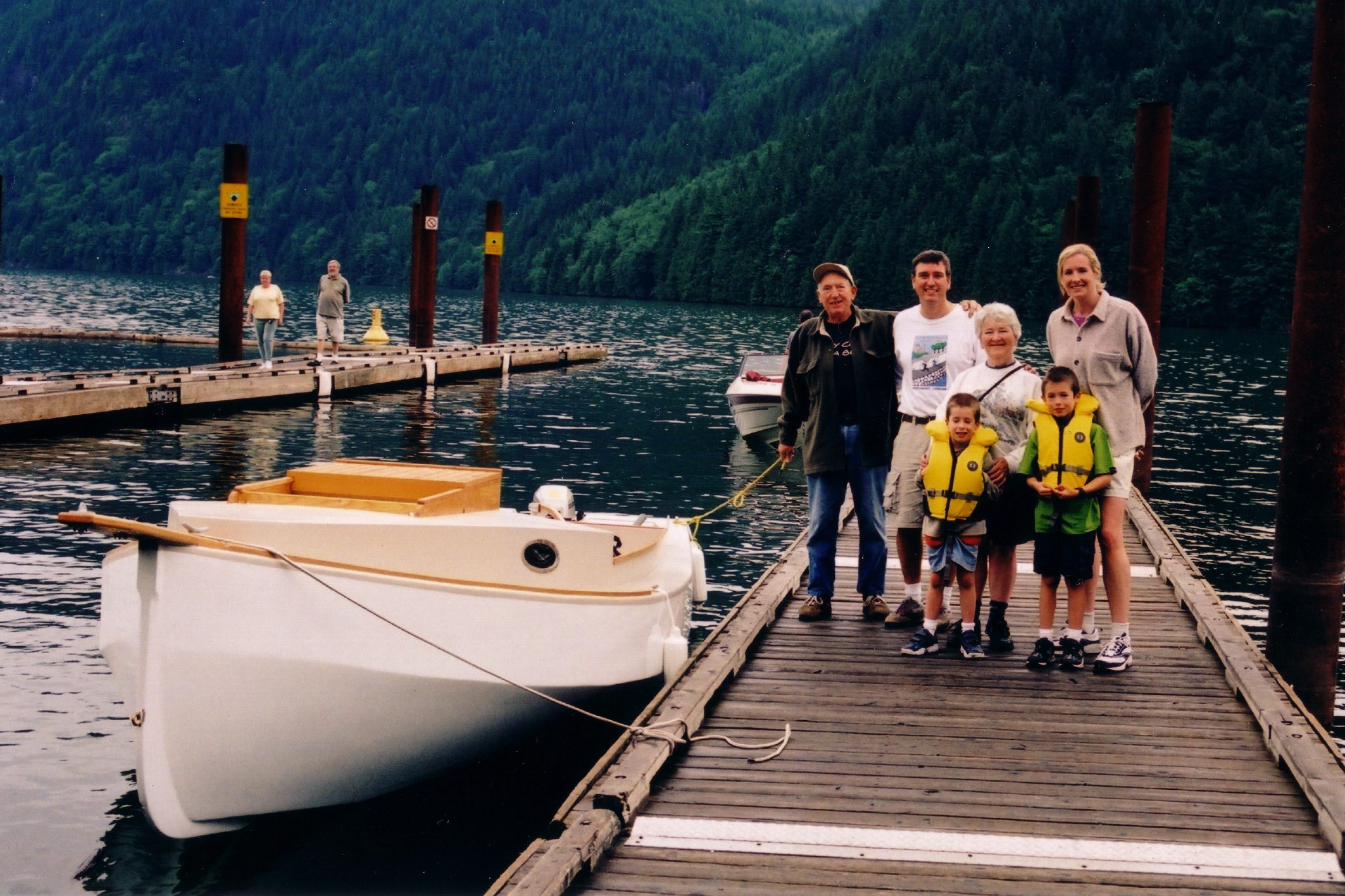
I finally launch my Chebacco, Bluster, at the Stave Lake (one hour east
of Vancouver) public ramp on July 7th. I have been puttering away on
this boat for over five years. I still need to build the masts and
booms and I have purchased the Sailrite kit all of which will be next
winter’s project. I am thrilled with the final results. She handled
the five adults and two children easily for the inaugural one hour
cruise on a typically warm and rainy west coast day.
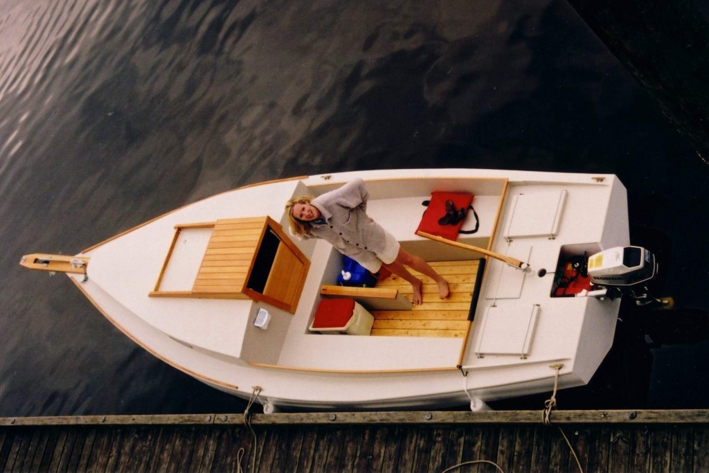
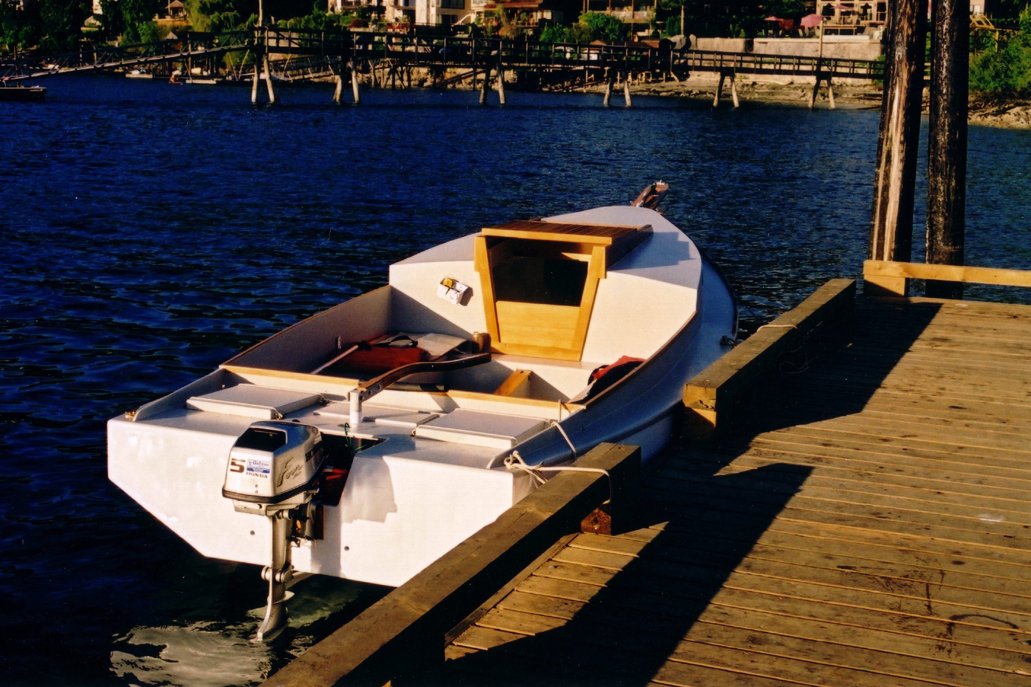
Bluster is a sheet ply Chebacco with a few minor changes:
The keel is laminated solid fir
Cabin top is raised two inches and the cabin sides pushed out to
line up with the coamings.
Transom is one continuous with a cut out for the motor
Motor well is slightly smaller (fits two 3 gal gas tanks)
Coaming is continuous along the aft section (no cut out)
Rudder and rudder post are welded aluminum
Mast to be deck mounted on a welded aluminum tabernacle; shrouds and
fore stay required
Plank style bowsprit with anchor roller and fore stay for jib
I splurged out and purchased a 5 hp Honda four cycle outboard motor
which I am very pleased with. I purchased the optional ‘power prop’
designed for displacement hulls. This prop gives me about 1/2 knot more
speed over the standard prop at all throttle settings.
On the weekend of July 13th Lisa and I took Bluster out for her first
salt water and overnight trip. We live close to the end of the Port
Moody arm of Burrard Inlet (the mouth of which is the city of
Vancouver) We planned to travel the end of Indian Arm which is the
longest arm of Burrard Inlet, the end is about 30 km from Vancouver. We
launched at Rocky Point at 6:30 pm on Friday night and we were dropping
the hook around 8:30 pm in Bedwell Bay off Indian Arm. I am new to
anchoring so I reset the anchor once and tested it before we tucked into
our cockpit candle light dinner. We spent a fairly comfortable night
but awoke several time to check on things. I noticed that Bluster would
dance around in the slightest of breezes (up to 180
degrees) not on the anchor but just on the weight of the anchor line.
The large, heavy, motor yachts in the anchorage did not budge. Maybe
the mizzen and centreboard would buffer this movement. The night was
warm and the mosquitos had a go at us. Note to me – need a screen for
companionway opening.
Up at 7:00 and motoring away from anchorage by 7:45. We cruised over to
the village of Deep Cove and tied up at the public wharf. Walked into
town a found a cafe for a big breakfast. After this in a warm but light
rain we motored north 18 km to the end of Indian Arm. Stopped once to
brew up a coffee on my single burner hiking stove.
We motored steadily all day and the Honda (with standard prop at this
time) just purred along. GSP gave us 5.5 knots at half throttle and 6.1
at full. Even at a fast idle we moved along at 2.9 knots. Used
approximately 3/4 of the 3 gal gas tank for the entire cruise. Lisa
thinks we should skip the sails as it will just complicate the fun and
she would lose her seat on the front of the cabin top.
Arrived back at the ramp around 3:30 pm on Saturday at an extremely low
tide. No retrieval problems.
Since this trip we have been out for several day cruises with the
children (Jacob 7, Sam 5) for family fun.
I have attached some photos.
Thank you Richard for all the work in maintaining the Chebacco site.
Randy Wheating
Port Moody, BC
Richard Spelling wrote:
> Wonderfull looking boat. Looks like you spent the 5 years well.
>
> Why solid wood keel?
>
Years ago, when I was getting around to the keel, I had never heard of a hollow
keel and it seemed vulnerable in the case of groundings or trailering. I also
had a supply of really old rough cut 2″ boards in my father’s barn that need a
purpose in life. Through work (industrial fiberglass manufacturing) I had
access to some kevlar scraps that I used to encase the keel.
>
> Transom and aft deck looks good, why did you do it that way?
I though the original drawings were odd in that it cut away all but 2″ of the
transom and then bolted a motor mount plank across the hole. Therefore, after
much pondering, I went with the solid transom. I needed to attach a little
wedge to the transom to get the motor angle right. I recall Brad Story’s
version have a solid transom.
I also did not care for nor understand the purpose of the big cut away into the
motor well from the cockpit and then adding a plank for the mast/tiller so I
made this solid and added a little access hatch under the tiller to get at the
forward part of the motor well (through which I can slip a 3 gal Honda gas tank)
>
>
> BTW, love your floor boards. Look much better than mine. Pine?
These boards are the cheapest wood on the boat – scrounged from a lift on
utility grade 1×4 spruce we use for pallet building at work. I just cut to fit,
rounded the edges and varnished. My plan was to replace with some nice fir
boards in the future but the pallet wood seems to look fine.
>
> Welded aluminum rudder post? 2″ I thought of doing that, but didn’t think it
> would be strong enough.
>
So far, so good. I copied Fraser Howell’s idea and I have access to an
excellent welder at work who could whip it up for me. I fabricated all the
metal work (tiller bracket, chain plates, anchor roller mounts, fore stay
brackets) and had these professionally galvanized.
>
> Interesting, you are trading standing rigging for a simpler tabernacle, and
> a usefull jib. Let me know how it turns out. Don’t forget the compression
> load on your mast now.
>
I do not expect the standing rigging to be a big deal and I wanted a nice tight
fore stay for the jib. The mast is actually to be cabin top mounted on an 1/2″
thick by 9″ tall hinge. I laminated the forward bulkhead to 1″ thick to act as
a compression post. Cut a square hole in it rather than a round one as per the
drawings.
>
> Don’t let Lisa convince you to loose the sails. There is something about
> flying along in silence with nothing but the wind pushing you that can’t be
> matched by motoring.
>
You certainly do not need to convince me. I am busting to get sailing. Lisa
has not really had any sailing experience to speak of so I am eager to share
this with her. I have learned to go slow. As they say: “When the momma is
happy, everyone is happy.”
Cheers,
Randy
***
Miscellaneous boat ramblings – Richard Spelling
“It’s a Chebacco. No, it’s a yawl, not a ketch. Yes, I built it. Thank you.” Well, if nothing else I meet lots of people.
At least they don’t think it’s a fake boat!
You know, life is funny sometimes. I built this boat to take the family, and in particular the wife, out camping and sailing. The wife likes the boat, but she still left and took all the kids. Life is change, I guess. At least I got a boat out of the deal. Know any girls who like to build boats? More to the point, know any girls who like boat builders ?
Out sailing, some of the hard to get pictures of your boat sailing. Quite windy, put in a reef and went splashing through the big waves where the wind had a couple of miles to build up waves just after this. Beat to windward, run back and beat to windward again. Much fun, got water on the inside of the windows! (hatches were open). Ex 6 year old stepdaughter had a blast.
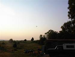
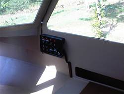
Hey! I want one of those. Picture of a powered parachute buzzing around. Right is a picture of the recycled electrical panel I made for the boat. Was a panel for some computer equipment I salvaged from the trash. Some 50 cent switches and fuses, and some holes bored on my homemade milling machine, and presto, switch panel.
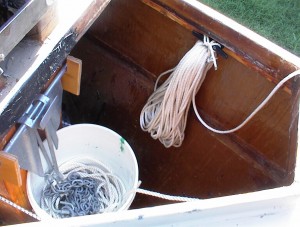
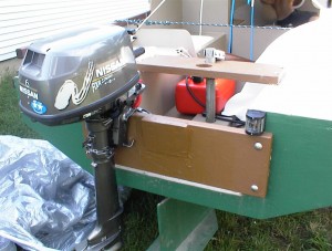
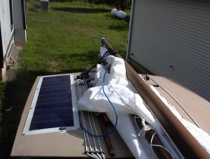
Anchor well, anchor rode, and launching rope. Wedge under motor to give proper trim angle. I put this on because the back would dig in at full throttle, and I thought the trim was off on the motor. Back still digs in, I guess I’m climbing over the bow wave. No matter, when the motor is tilted up it rides lower with the wedge, less chance of water going up the exhaust and into the cylinders now. Also, you can’t pull the motor off strait up, you have to slide it off sideways now. And, there is a plate screwed on with with epoxy blocking the screwdriver slots on the soft brass screws to prevent sideways sliding. Theft prevention. Right is battery charger.
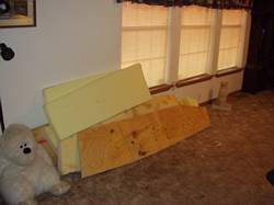
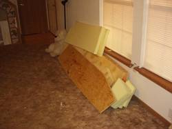
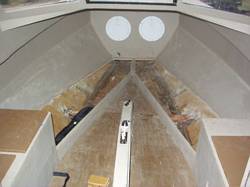
Foam and boards to go on the seats and the berths. Going to try my hand at upholstery. Note clean empty living room. One advantage of being single again, I can work on boat stuff in the house!
Prototype of hitch mirror. Doesn’t work, moves and gets out of alignment due to the wonderful roads here in Oklahoma. Thought was to let me see the hitch in the rear view mirror for hooking the boat up singlehanded. Designing Mark II now. Right is a picture of the storage areas under the berths.
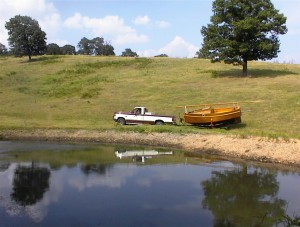
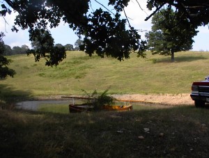
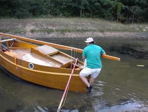
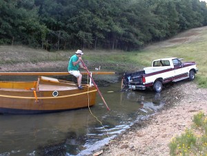
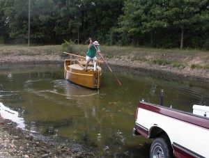
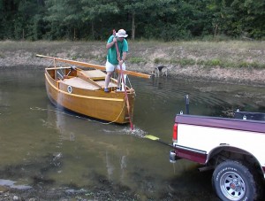
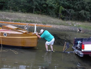
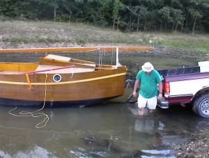
Here we are launching a friends Micro in Grand Lake so we can work on the trailer without jacking the boat up. This is so we can take both boats out sailing.
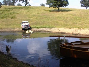
OK, I lied. It wasn’t Grand Lake.
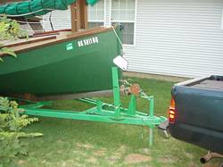
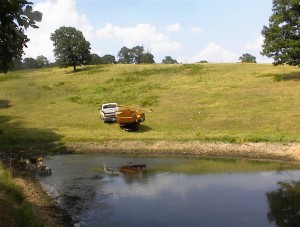
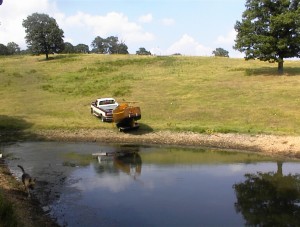
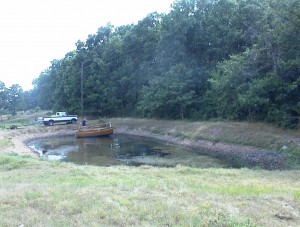
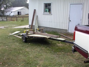
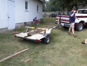
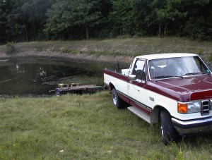
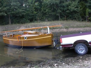
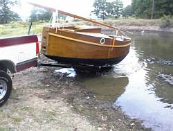
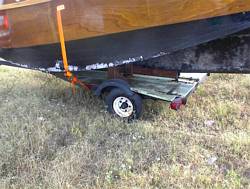
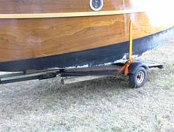
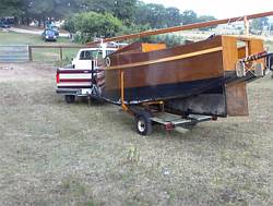
Modifications to the trailer to fix the lights, and to encourage it to sink…
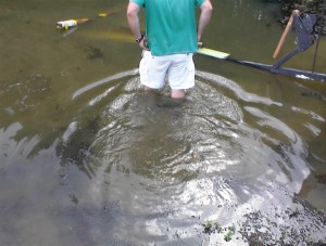
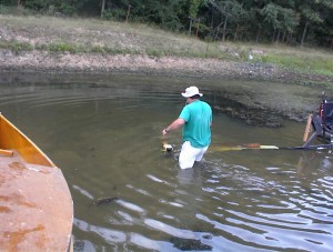
David: “I’m not going in there!” Me: “It’s not like it’s a sewer or something!”
Me: “Yuk!”
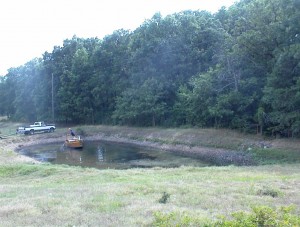
Hint: Do not drive an old trailer with 8 inch wheels in a rocky field with holes deeper than 8 inches, you will break leaf springs. Right is emergency repairs.
Micro goes back in it’s barn. I guess we are only taking one boat out.
***
—-Original Message—–
From: Richard Spelling [mailto:richard@spellingbusiness.com]
Sent: Monday, March 25, 2002 10:52 AM
To: Mike Haskell
Subject: Re: Request in next newsletter
Sure, no problem. Maybe we should ask them to register so
everyone has thier email addr?
Put the side decks on, and started the mast this weekend.
—– Original Message —–
From: “Mike Haskell” <mike@AdventureQuest-USA.com>
To: <richard@spellingbusiness.com>
Sent: Monday, March 25, 2002 9:45 AM
Subject: Request in next newsletter
Good morning Richard,
When you complete the next newsletter, would you put in this request:
To all Chebacco lapstrake builders. My name is Mike Haskell and
I plan to start building a lapstrake Chebacco in the summer of 2002. By scouring past articles in the Chebacco News, I have deduced that the following may have, or have built or are building lapstrake Chebaccos:
Marc Lindgren
Allan Bell
Bill Parkes
Bill Meier
Jerome McIvanie
George Cobb
Gil Fitzhugh
Would each of you be willing to respond to me off list. I’d like to have your e-mail addresses, so that I can contact you to see whether or not I can pick your brains as I get into this project. Gil, since you and I have already correspnded, you need not contact me again–I have your address and you are currently at the top of my “When I Need Help Call______” list.
Thank you to all who respond–and there is a prize. If you ever get to Maine, stop by Bowdoinham, we’ll go sailing or kayaking, and I’ll treat you to a bowl of the best lobster stew you’ve ever eaten.
Sincerely,
Mike Haskell
Mike Haskell, President/CEO
Adventure Quest-USA
Leadership That Gets Measurable Business Results, Guaranteed!
Forging Business Leaders Who
-Create Effective Work Teams
-Increase Productivity
-Deliver Measurable Business Results
mailto:mike@AdventureQuest-USA.com
http://www.AdventureQuest-USA.com


